HISTORIX Vintage 1916 Chicago Illinois Map and 50 similar items


Free Shipping
HISTORIX Vintage 1916 Chicago Illinois Map Poster - 18x24 Inch Vintage Chicago M
$39.99 - $59.99
View full item details »

Shipping options
Seller handling time is 2 business days Details
FREE via to United States
Return policy
Full refund available for DOAs
Details
Purchase protection
Payment options
PayPal accepted
PayPal Credit accepted
Venmo accepted
PayPal, MasterCard, Visa, Discover, and American Express accepted
Maestro accepted
Amazon Pay accepted
Nuvei accepted
View full item details »
Shipping options
Seller handling time is 2 business days Details
FREE via to United States
Return policy
Full refund available for DOAs
Details
Purchase protection
Payment options
PayPal accepted
PayPal Credit accepted
Venmo accepted
PayPal, MasterCard, Visa, Discover, and American Express accepted
Maestro accepted
Amazon Pay accepted
Nuvei accepted
Item traits
| Category: | |
|---|---|
| Quantity Available: |
16 in stock |
| Condition: |
New |
| UPC: |
737214976257 |
| Item Name: |
1916 Chicago, central business section Poster Print |
| Item Type Keyword: |
prints |
| Unspsc Code: |
60121013 |
| sizes: |
Listing details
| Seller policies: | |
|---|---|
| Shipping discount: |
Seller pays shipping for this item. |
| Posted for sale: |
More than a week ago |
| Item number: |
1743639175 |
Item description
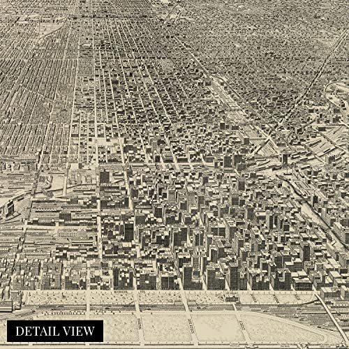
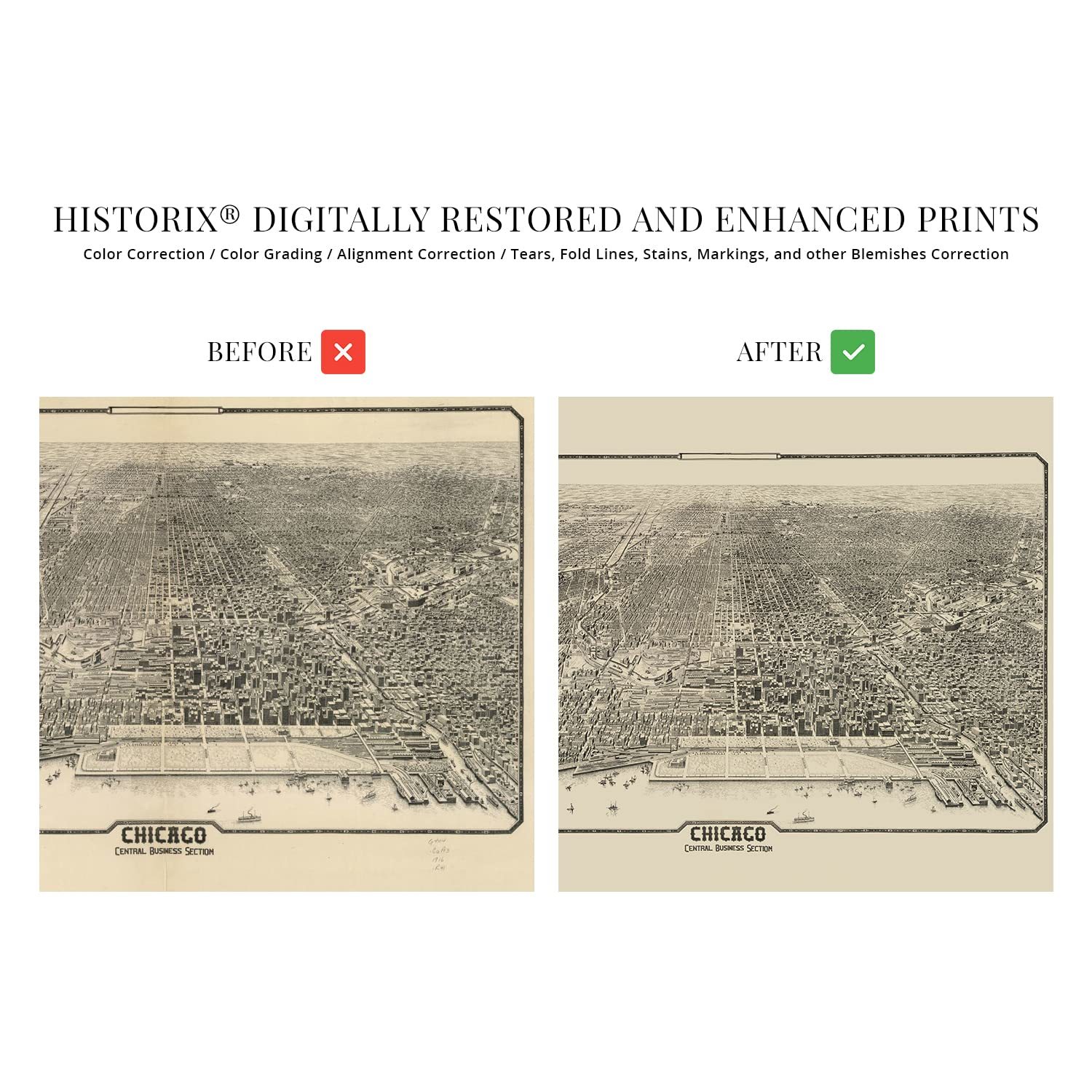
One of the most iconic parts of Chicago is illustrated here with incredible attention to detail and a distinct aesthetic that is immediately recognizable. The central business district is the second largest in the United States and represents the primary portion of downtown Chicago and Grant Park. The area is characterized by its architecture which was transformed following the Great Fire of 1871. By 1875 the city had rebuilt, and technological advancements in steel and glass building marked the construction that would come to be the signature design for the majority of urban centers. These prominent skyscrapers were some of the earliest constructed and would create the emblematic skyline on the banks of Lake Michigan.
The area became the eastern terminus of famed Route 66 in 1926 and is one of the most populous regions in the United States. The early portion of the twentieth century saw Chicago enjoying a period of significant prosperity as thriving industries and commercial banking spurred economic advances in the metropolitan area. The central business district established the grid system that would expand throughout the city as it expanded.
The nineteenth century saw significant growth as diverse immigrants from Ireland, Italy, Eastern Europe, and Poland established thriving communities based along with cultural traditions and heritage, many of which exist to this day. This authentic piece of American cartographical history transports the viewer back in time. The area was often referred to as The Loop following the construction of electric cable cars in 1882.
|
Why are we showing these items?
Booth
Historic Prints |

|


-
Refine your browsing experience
We can show you more items that are exactly like the original item, or we can show you items that are similar in spirit. By default we show you a mix.
This item has been added to your cart
 HISTORIX Vintage 1916 Chicago Illinois Map Poster - 18x24 Inch Vintage Chicago M added to cart.
16 available in stock
HISTORIX Vintage 1916 Chicago Illinois Map Poster - 18x24 Inch Vintage Chicago M added to cart.
16 available in stock
View Cart or continue shopping.
 Please wait while we finish adding this item to your cart.
Get an item reminder
We'll email you a link to your item now and follow up with a single reminder (if you'd like one). That's it! No spam, no hassle.
Already have an account?
Log in and add this item to your wish list.