HISTORIX Vintage 1870 Clarksville Tennessee and 50 similar items


Free Shipping
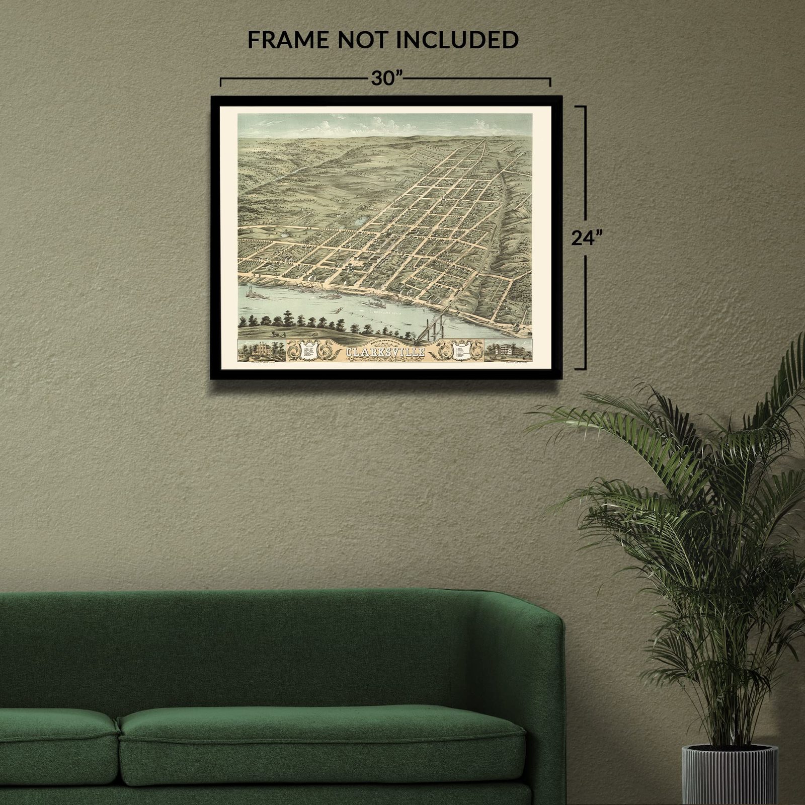
HISTORIX Vintage 1870 Clarksville Tennessee Map Print - 24x30 Inch Old Bird's Ey
$54.99
View full item details »

Shipping options
Seller handling time is 2 business days Details
FREE via to United States
Return policy
Full refund available for DOAs
Details
Purchase protection
Payment options
PayPal accepted
PayPal Credit accepted
Venmo accepted
PayPal, MasterCard, Visa, Discover, and American Express accepted
Maestro accepted
Amazon Pay accepted
Nuvei accepted
View full item details »
Shipping options
Seller handling time is 2 business days Details
FREE via to United States
Return policy
Full refund available for DOAs
Details
Purchase protection
Payment options
PayPal accepted
PayPal Credit accepted
Venmo accepted
PayPal, MasterCard, Visa, Discover, and American Express accepted
Maestro accepted
Amazon Pay accepted
Nuvei accepted
Item traits
| Category: | |
|---|---|
| Quantity Available: |
8 in stock |
| Condition: |
New |
| MPN: |
ENMAP06002430A |
| UPC: |
705514893154 |
| EAN: |
0705514893130 |
| color: |
Natural |
| binding: |
unbound |
| format: |
unbound |
| language: |
english |
| manufacturer: |
HISTORIX |
| Externally Assigned Product Identifier: |
0705514893130 |
| Bullet Point: | |
| Publication Date: |
1870T |
| Product Description: | |
| Brand: |
HISTORIX |
| Unspsc Code: |
55101500 |
| Paper Finish: |
matte |
| Map Scale: |
1000 |
| Item Name: | |
| Item Type Keyword: |
wall-maps |
| Product Site Launch Date: |
2024-05-17T07:11:49.478Z |
| Part Number: |
ENMAP06002430A |
Listing details
| Seller policies: | |
|---|---|
| Shipping discount: |
Seller pays shipping for this item. |
| Posted for sale: |
More than a week ago |
| Item number: |
1735817206 |
Item description
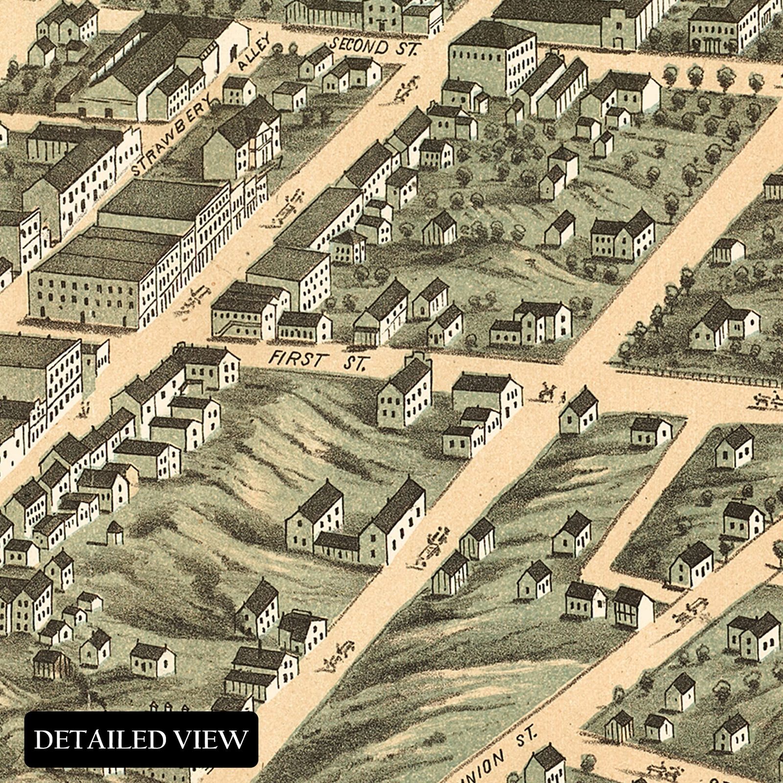
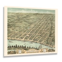
Montgomery County's seat, Clarksville, Tennessee has a rich history and is the fifth largest city in Tennessee, founded in 1785. Clarksville is located at the confluence of the Cumberland and Red rivers. In 1779 a group of early settlers from Eastern Tennessee traveled on the Daniel Boone Wilderness Road and established themselves in Clarksville, building an iron plantation in Cumberland Furnace. A year later, flat boats destined for what would become Nashville made their way up the Cumberland River a small contingent of the group broke off and settled in Clarksville. The town was designated to be settled by members of George Washington's Continental Army in the years following the conclusion of the American Revolution.
After the end of the American Civil War, Clarksville experienced a period of growth and transformation as economic opportunities became more prevalent with thriving tobacco farms and increased access by the expansion of the Louisville-Nashville Railroad. This bird's eye perspective was produced and published by one of the early pioneers of the form Albert Ruger who was one of the first lithographers to make maps in this style. Panoramic maps are unique because they were used as marketing materials to entice residents and merchants alike by featuring prominent civic buildings, economic opportunities, and natural attractions.
The distinctive aesthetic and unique style of bird’s eye perspectives immediately transports the viewer back in time, creating an indelible bond between the past and present. This piece of cartographical history shows Clarksville in a transformative period of evolution.
Additional Details
------------------------------
Bullet point: VINTAGE MAP REPRODUCTION: You?ll love this high quality historic reproduction of 1870 Clarksville Tennessee Map. Our museum quality prints are archival grade, which means it will look great and last without fading for over 100 years. Our print to order maps are made in the USA and each map is inspected for quality. This beautiful artwork is a perfect addition to your themed decor. Vintage maps look great in the home, study or office. They make a perfect gift as well.
Product description:
Montgomery County's seat, Clarksville, Tennessee has a rich history and is the fifth largest city in Tennessee, founded in 1785. Clarksville is located at the confluence of the Cumberland and Red rivers. In 1779 a group of early settlers from Eastern Tennessee traveled on the Daniel Boone Wilderness Road and established themselves in Clarksville, building an iron plantation in Cumberland Furnace. A year later, flat boats destined for what would become Nashville made their way up the Cumberland River a small contingent of the group broke off and settled in Clarksville. The town was designated to be settled by members of George Washington's Continental Army in the years following the conclusion of the American Revolution.
After the end of the American Civil War, Clarksville experienced a period of growth and transformation as economic opportunities became more prevalent with thriving tobacco farms and increased access by the expansion of the Louisville-Nashville Railroad. This bird's eye perspective was produced and published by one of the early pioneers of the form Albert Ruger who was one of the first lithographers to make maps in this style. Panoramic maps are unique because they were used as marketing materials to entice residents and merchants alike by featuring prominent civic buildings, economic opportunities, and natural attractions.
The distinctive aesthetic and unique style of bird’s eye perspectives immediately transports the viewer back in time, creating an indelible bond between the past and present. This piece of cartographical history shows Clarksville in a transformative period of evolution.
Format: wall_map
|
Why are we showing these items?
Booth
Historic Prints |

|


-
Refine your browsing experience
We can show you more items that are exactly like the original item, or we can show you items that are similar in spirit. By default we show you a mix.
This item has been added to your cart
 HISTORIX Vintage 1870 Clarksville Tennessee Map Print - 24x30 Inch Old Bird's Ey added to cart.
8 available in stock
HISTORIX Vintage 1870 Clarksville Tennessee Map Print - 24x30 Inch Old Bird's Ey added to cart.
8 available in stock
View Cart or continue shopping.
 Please wait while we finish adding this item to your cart.
Get an item reminder
We'll email you a link to your item now and follow up with a single reminder (if you'd like one). That's it! No spam, no hassle.
Already have an account?
Log in and add this item to your wish list.